Autonavi Maps launches truck navigation to help 30 million drivers travel safely
On December 6th, Autonavi Maps launched a new truck navigation function, which is a new feature introduced by Autonavi Maps for special needs groups after the launch of barrier-free maps. Truck navigation can help many drivers accurately avoid the restricted and restricted routes of trucks, making it smarter and safer to travel in large cars.
With the rapid development of logistics freight and e-commerce, truck drivers have now become a very large social group. According to statistics, there are currently about 30 million truck drivers in China, and there are 15 million road freight vehicles, with an average of more than 84 million tons of goods in transit every day.
Due to the strong demand for long-distance, long-distance and multi-frequency travel, truck drivers rely heavily on mobile maps and navigation applications. Autonavi traffic big data shows that trucks in some areas use navigation for an average of more than 400 minutes in a month. At present, there is no accurate and easy-to-use product in the mainstream map applications in China that can fully meet the requirements of truck drivers.
"Trucks should have the highest requirements for navigation and map data fineness among all vehicle types." The relevant person in charge of Autonavi Maps said that due to the strict height, width, weight, and travel restrictions on the road, once the truck enters the restricted road section, it is more difficult for the truck to turn around, not only to pay fines for violations, but also to cause road congestion and even cause safety risks.
There have been many similar cases this year. In late November this year, under the overpass of Jianshe Road, West Third Ring Road, Zhengzhou City, a refrigerated truck was stuck under the overpass while passing a bridge with a height limit of 3 meters. Traffic data showed that after the accident, the congestion delay index of the relevant road section (the travel time of traffic congestion passing/the travel time of free flow passing, the higher the index, the more serious the congestion) peaked at 4.11, and the congestion delay index was greater than 1.8 for about 8 hours throughout the day.
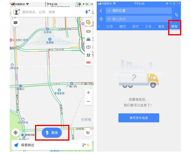
Autonavi map truck navigation is to solve the urgent needs of 30 million truck drivers. When drivers use it for the first time, they can directly use this function by adding basic parameters such as truck type, brand, weight, length and width. During the use of truck navigation, Autonavi map performs intelligent calculation based on high-precision big data, and will automatically plan a navigation route that meets the restrictions of all aspects of the truck they drive. The road is safe and smooth to avoid violations and dangers.
It is understood that the current Autonavi map has covered more than one million truck weight limits, height limits, width limits, axle load limits, travel restrictions, bans and other road information across the country. In addition, the Autonavi map also specially adds the location data of truck checkpoints across the country, and provides navigation and voice reminders during the navigation process, allowing drivers to know the number and location of checkpoints.
Another new feature of the Autonavi map, "Team", is also very suitable for the needs of truck drivers. The so-called "team" means that drivers share each other’s real-time location through the same group of team passwords, and can be displayed in real time on each other’s Autonavi map navigation interface, which is convenient for each other to view and find. Since truck drivers often start in teams when delivering goods, and the journey is long, they can take care of each other through the "team" function of the Autonavi map. In addition, with the help of this function, cargo owners and card sisters can also check the real-time location of drivers and keep abreast of their movements.
"Truck navigation once again reflects Autonavi Maps’ professional and profound accumulation in big data." The person in charge said that Autonavi Maps has Class A surveying and mapping qualifications for navigation electronic maps, Class A qualifications for surveying and mapping aerial photography, and Class A surveying and mapping qualifications for Internet map services. As of the first half of 2017, Autonavi traffic big data has covered 360 + cities across the country, as well as 7.90 million kilometers of navigation road data, with more than 400 kinds of road attribute information alone.
The launch of truck navigation has once again enriched the travel services of the Autonavi map easy platform. The easy platform is the one-stop public travel service platform first launched by Autonavi in the middle of this year. It has previously been connected to many travel service providers such as Didi Chuxing, Shenzhou Special Car, Shouqi Car, Mobike, ofo, and Flying Pig.